Hiking in Vallecamonica - Monte Pagano
This is another of our favourite walks. To reach the starting point, we take the SS 42 and follow the signs for "Monno" and "Passo Mortirolo". After Monno, we continue on the road for Mortirolo. It’s a good road but it’s wise to be cautious on the bends because it’s popular with bikers and cyclists. After about twenty minutes we park on the right just before the bridge over the Torrente Ogliolo. The trail is signed and starts off quite steeply before levelling off a little. It’s a wide dirt track which later becomes a path following the military tracks dating back to the 1st World war.
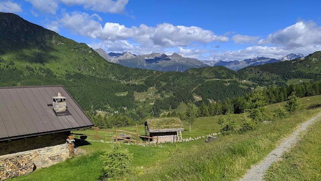
As we climb up the views become better and better, at first back towards Mortirolo and the mountains of the Valtellina beyond.
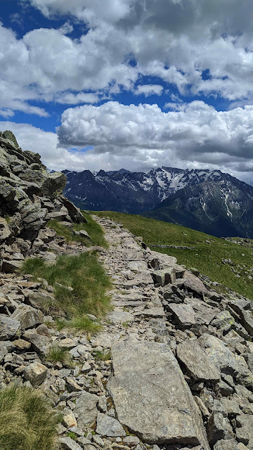
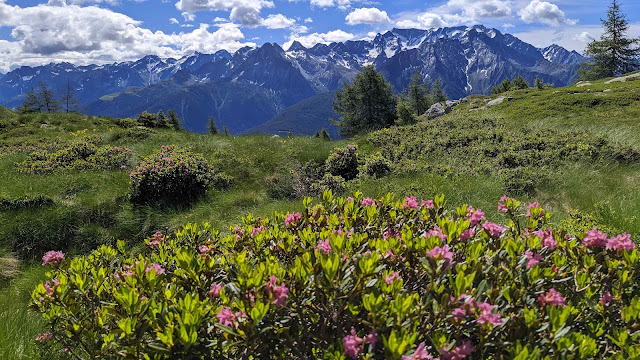
The military track zigzags up, escaping the woods, then among occasional larches with pink rhododendrons in flower,
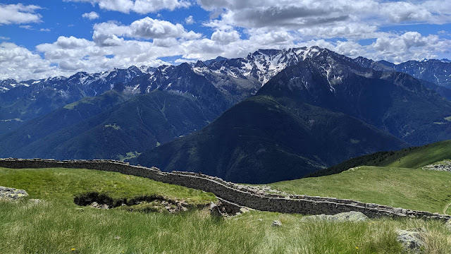
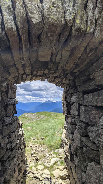
eventually turning back towards the north before circling Monte Pagano avoiding a few goats, and finally reaching the top. Here, the panorama is spectacular: from the Adamello group to Bernina, and all of the Vallecamonica. Although not on the front, Monte Pagano occupied a strategic position during the First World War, thanks to this 360-degree view. The walls of the Italian military fort are still standing, including some entrance portals. We spend a while walking around the walls, up and down the remaining steps, in places and of course taking photos of the mountains framed in stone. There's a bench which can just about host the three of us and the view all around would take a long time to due justice to.
Our picnic, as always, when clouds are not threatening, is leisurely, because who could possibly be in a hurry to leave here? There's an alternative return loop towards Pianaccio but it's quite steep going down so we go back the way we came. A splendid day.







Comments
Post a Comment